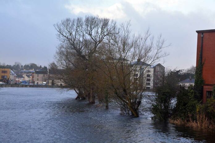
WORKS are underway to provide updated maps outlining the areas benefiting from the Ennis South Flood Relief Scheme, the Ennis Municipal District has confirmed.
The flood maps may be used to assist the insurance industry in determining the cost and provision of flood cover to homes and businesses in the local area.
Details of the works were outlined at a recent meeting of the Ennis Municipal District following a notice of motion by Councillor Paul Murphy. The councillor had sought on update on a response received in February after requesting the municipal district and Clare County Council collaborate with stakeholders such as Ennis Chamber of Commerce, Ennis Traders Group and Retail Excellence Ireland in preparing a document, detailing the improvements to the flood defence system and outlining how the risk of flooding has been minimised as a result of the works completed.
“Information provided in the requested document was to meet the requirements of Insurance providers from a risk management perspective, and was to assist homeowners and businesses in obtaining or retaining insurance against flooding. The response stated that, ‘A more detailed response will be provided when the replies come from the OPW and the CFRAMS project person’,” he outlined.
Sean Lenihan, Senior Engineer, responded, “As the Ennis South Flood Relief Scheme is substantially complete with only snagging and some ancillary works remaining, the Project Team is now focussed on finalising a map to show the areas that benefit from the scheme. Some additional modelling may be necessary to inform the outcome of this review.
“This work is continuing in consultation with the OPW and Scheme Consultants Ryan Hanley and will result in the production of a series of updated flood maps which may be used to assist the Insurance Industry in determining the cost and provision of flood cover to homes and businesses in the area.” He added that he would keep the council members aware of developments in this regard and make the maps available once finalised.
Updated Ennis flood maps being finalised


