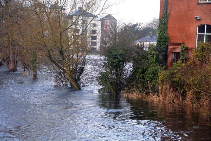
FEARS that the County Development Plan could be “hindered” by an absence of updated flood maps, and with that future development in Ennis, were expressed at a meeting of Ennis councillors.
The issue was highlighted by Councillor Clare Colleran Molloy who urged that the Office of Public Works issue up to date maps to represent the Ennis South Flood Relief Works. She said this is necessary to ensure the council is not impeded in zoning lands for the development of the county capital.
“We want to ensure we have adequate zoning of lands for all of our needs, most especially there is a huge demand for housing of all types, not just social housing. I am concerned that in our efforts in drawing up the plan we will be impeded from adequately zoning land because of a lack of maps.”
Sean Lenihan, Senior Engineer, responded, “As the Ennis South Flood Relief Scheme is not yet officially completed, the updated Flood Maps which will detail the benefiting areas post scheme, are also not yet at completion.
“They are currently being progressed and developed by scheme consultants Ryan Hanley and specialist hydrological consultants, Hydro Environmental. Once completed and reviewed by the Council, they will then be forwarded to the OPW for their consideration and approval.
“Thereafter, they will be made publicly available and may be used by the Insurance Industry and indeed the Planning Authority as a tool to inform further in relation to particular locations. In terms of their impact on the County Development Plan, Members will be aware that there will be a new Strategic Flood Risk Assessment completed as part of the review process in any event. However, the aforementioned updated Flood Maps will be useful in considering any potential submissions received as part of that process over the next few months. I will keep the Members aware of developments in this regard and circulate the maps to them once available.”
Councillor Colleran Molloy commented that based on the response, and an earlier conversation with Mr Lenihan she is “hopeful and confident”.
Councillor Paul Murphy, who raised the need for the maps to support homes and businesses seeking insurance at a previous meeting, stated he believes the maps will be available in the spring. “I’m looking forward to that,” he stated.
Councillor Pat Daly pointed to the millions of euros that have been spent on the flood scheme. He said he “can’t understand” why the preparation of the maps is taking so long. “There are lands in the area which could be zoned for business. This is important,” he added.
Councillor Johnny Flynn recalled the setting up of the Ennis Flood Action Group following severe flooding in the nineties. “It is very important that lands and properties are defended by the flood relief scheme, and that this can be identified to benefit those looking for flood insurance and those wishing to develop properties and land.” However, he said he is “concerned people think that is the end of it” saying more works are needed including a relocation of the tidal barrage at Clarecastle.
Mayor of Ennis, Councillor Ann Norton stated, “The amount of investment that has been put into flood relief for the benefit of the town has been hugely important.” She continued, “We were given the impression that once the flood relief was done there would be an opportunity to see buildings developed. The maps are hugely important and I can’t understand this dragging of feet, it really isn’t acceptable.”
Councillor Colleran Molloy thanked her fellow councillors for their support, stating that a unified effort will push this issue forward. She pointed to recent discussions at Clare County Council level where those in rural areas highlighted the impeding of development due to a lack of infrastructure in their localities.
“We have spent huge sums on flood relief, it’s ridiculous we have the infrastructure in place but we don’t have the maps to allow for further zoning,” she concluded.
Flood map fears for county plan

online pharmacy buy elavil no prescription
online pharmacy purchase minocin online no prescription
